Asset Inventory and Mapping for Small Water Systems

As we move beyond the basics of asset management, we will briefly revisit the overall thought-process of asset management during the first part of this training, before focusing on more advanced concepts related to asset inventory and mapping. This virtual training module will focus on developing an asset inventory with analysis in mind. We will discuss:
- the types of asset data that can and should be collected;
- the readily available data collection apps;
- creating a basic data collection form within an application;
- avoiding common data collection mistakes; and
- building data collection into daily system activity.
We will also cover GIS basics and more advanced analysis techniques. We will:
- review GIS basics
- discuss using locational data collected for your water system assets to create a map;
- explore a variety of GIS mapping platforms (e.g. ESRI’s ArcGIS Pro, QGIS, and Google Earth) and explain the pros and cons of each;
- discuss resources available and how to best utilize collected system data;
- explore various types of data analyses that can be performed using GIS and the benefits they provide;
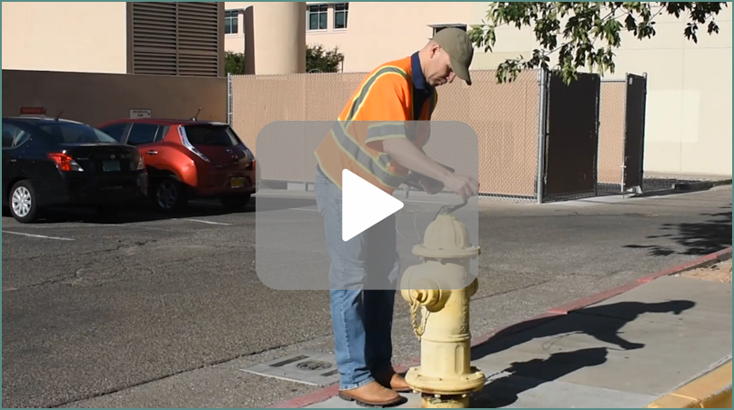
View a quick demonstration of GIS map creation and different methods of symbolizing data.
Presenter: James Markham